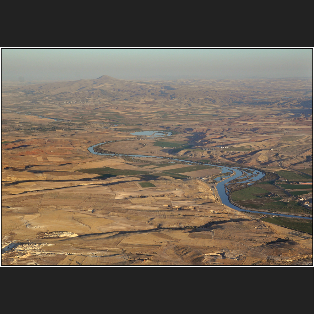
Ein wenig Geografie V
Der zentrale Region von Kapadokya
wird im Norden vom Roten Fluss begrenzt.
Der »Kizilirmak« ist fast 1400 km lang
und damit der grösste rein türkische Fluss.
Sein Namen hat er durch die Tonerde,
die er in grossen Mengen mit sich führt.
Hier geht's weiter:

Ein wenig Geografie VI
Hannes Gensfleisch
Kapadokya, 29. September 2012


Commenti 0
La foto non si trova in discussione. Per questo in questo momento non può essere commentata.
Cancella commento
Eliminare commento e risposte